Getting around Irvine without driving is possible for many trips, but it takes more planning than following a single transit line through a compact downtown. Irvine’s destinations are spread across residential villages, office districts, shopping areas, parks, and the university. The best route may combine a bus, a regional train, walking, or cycling. Rather than promising that every destination is equally accessible, this guide shows how to evaluate your particular trip and build a workable backup plan before leaving home.
Understand the main travel options
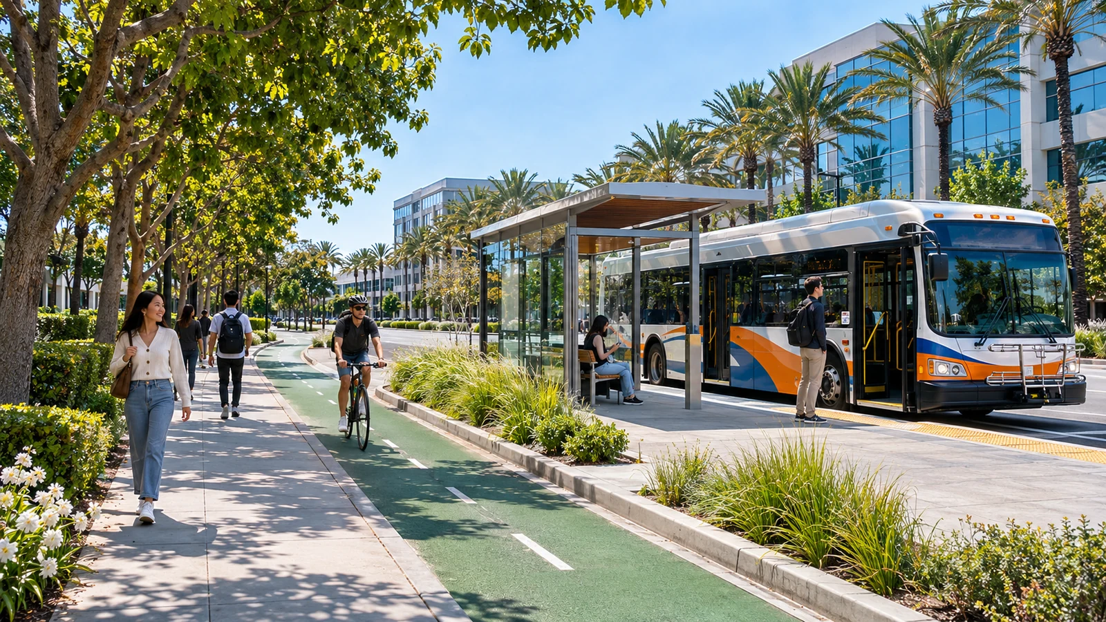
The Orange County Transportation Authority operates OC Bus routes serving portions of Irvine and surrounding communities. Start with the official OCTA route and schedule information rather than an older map reproduced elsewhere. Route frequencies and days of operation differ, and a useful weekday commute may not translate into a Saturday outing. Check the stops near both ends of your trip. A route passing through Irvine is not necessarily close to your destination, especially near large office campuses or residential streets set back from major corridors.
Regional trains can replace part of a longer drive
Irvine Station, near the Spectrum area, connects travelers with regional rail and bus services. Metrolink and Amtrak can help with trips beyond Irvine, though train frequency, tickets, and transfer options depend on the route and day. The station’s distance from your destination still matters. If you arrive by rail and need another bus or a lengthy walk, include that transfer in your plan from the beginning. Read each operator’s current service alerts, particularly on holidays or when track work is scheduled.
Do not rely on the former iShuttle
An important update for returning visitors: the City’s Irvine Shuttle information states that iShuttle service was discontinued on June 28, 2025. Old articles and map screenshots may still show it as an option, so verify contemporary services before planning a connection. OCTA, rail, biking, walking, and other available travel choices should form the basis of a 2026 itinerary. This is one reason a current schedule link matters more than a remembered route name.

Plan the first and last mile carefully
Transit journeys are often decided by the distance between a station and your actual destination. A bus stop may be several blocks from an office entrance, park facility, or shopping center. Look at crosswalks, sidewalk continuity, shade, hills, and safe places to wait. Irvine’s wide streets can create long intersections even when the map shows a short straight-line distance. Use a walking map in combination with the official service timetable, and allow extra minutes when carrying bags or traveling with children.
A practical door-to-door checklist
Record your departure point, correct side of the street for each stop, scheduled vehicle times, transfer location, final walking route, and expected arrival. Add a backup option such as a later bus, a different station, or an approved rideshare pickup area. Save the current timetable in case mobile service is poor. If accessibility is a factor, confirm elevators, boarding arrangements, and pathway conditions with the appropriate operator instead of assuming every connection is step-free.
Mix cycling with public transit when appropriate
Cycling can cover the distance between a neighborhood and a stop more quickly than walking, but it requires route planning. The City’s biking page links to maps showing on-street lanes and off-street trails. Consider where your bike can be locked securely and the bike rules of any bus or train you plan to use. Choose a route for comfort and conditions, not simply the shortest distance. Our beginner’s guide to Irvine trails explains the differences between shared paths and more demanding recreational routes.
Match the trip to a realistic timetable
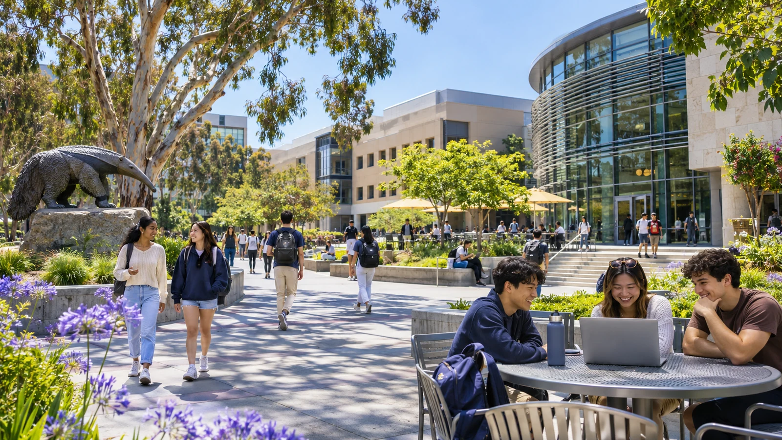
A commute to UC Irvine, a shopping trip near Irvine Spectrum, and a visit to a nature preserve may require three entirely different strategies. For a campus journey, check university visitor information and nearby bus stops. Shopping centers often have multiple entrances, so identify the one closest to transit. Natural areas may have limited service or gated access. Our guide to exploring UC Irvine offers more context for campus visits, while our shopping and food guide can help you choose a practical destination.

Build in time for service changes
Use live status tools when available and check the next scheduled departure before you begin walking toward a transfer. A missed low-frequency connection can change an entire day’s plan. For an appointment, consider arriving early rather than targeting the last possible vehicle. If you’re traveling after dark, think about lighting and the return route, not only the outbound journey. Keep a charged phone, water, and the contact details for the service operator. Travel arrangements should suit the actual needs of your group, rather than an idealized map.
Explore Irvine at a slower pace
Traveling without a car can reveal community details easily missed from a main road: a shaded greenbelt, a neighborhood library, a small retail court, or a connecting shared path. A short outing that focuses on one area may be more enjoyable than trying to cross the entire city in a day. Choose a walkable cluster of destinations and schedule a comfortable return. For ideas, see our Irvine neighborhood villages guide.
Think about the return journey first
One common mistake is planning an easy outbound trip and overlooking how to get home. Evening service may be less frequent, and a missed connection can mean a long wait. Before leaving, check the final reasonable departure, the walking route to that stop, and any changes to station access. If you are visiting a performance or late appointment, allow for an event that ends later than expected. Keep an alternative budgeted, where possible, rather than assuming a last-minute ride will always be available. A good route feels realistic in both directions, even after a full day.
Make accessibility part of the plan
If a traveler uses a wheelchair, stroller, or mobility aid, verify accessible stops, crossings, boarding arrangements, and pathways rather than relying on general map symbols. Contact the transit operator when specific accessibility information is missing. Shade and seating at stops can also matter to older travelers or anyone managing a long wait. A trip that is theoretically connected may still need adjustment to be comfortable, safe, and practical.
The main lesson is to plan the complete journey, not just the longest part. Current agency schedules, first-mile access, realistic transfers, and a fallback option make car-free trips more reliable. Irvine’s travel network continues to evolve, so revisit official maps before recurring journeys and avoid treating an outdated transit article as a permanent guide.
End of article