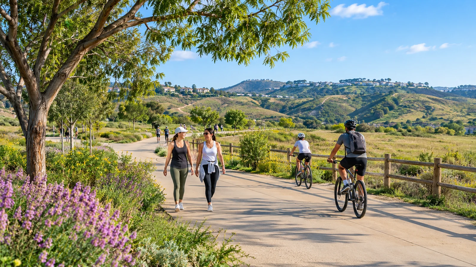
Trying a new trail around Irvine should feel inviting, not like a navigation test. The area includes paved paths, neighborhood open-space corridors, and routes through more natural hills and canyons. They are not interchangeable. A beginner’s best first outing is one where the distance, surface, access, and weather are predictable enough to enjoy the surroundings. This guide explains how to choose a starting route, read official maps, share the path, and build confidence before moving to longer or more exposed trails.
Choose a trail for your current comfort level
Begin by deciding how long you want to be outside and how far you are comfortable walking or cycling. A mostly level paved route may be easier than a short but steep dirt path, especially in warm weather. The City’s biking page lists bikeway resources and maps, including off-street routes. For natural areas, the open-space maps and directions provide trailhead guidance and information about locations with scheduled access. Avoid choosing by distance alone; elevation, shade, and the return route also matter.
Paved routes offer a useful introduction
Off-street shared paths can be a good place to practice route awareness without needing to navigate an isolated wilderness trail. However, “off-street” does not mean conflict-free. You may encounter fast cyclists, intersections, narrow sections, or access points with limited visibility. Begin during daylight and choose an out-and-back route so you can turn around whenever you have reached a comfortable distance. As your confidence grows, explore longer connectors or destinations linked to neighborhood parks. Our Irvine open-spaces guide outlines different types of outdoor places.
Nature trails need extra preparation
A dirt path in a preserve may require more water, sun protection, and attention to footing. Some routes are open for self-guided use while others require a docent-led visit or pre-registration. The Irvine Open Space Preserve page describes access programs and closure considerations. Weather can affect trail availability after rain or during heightened fire danger. Even a familiar route should be checked shortly before departure. Never bypass a closure sign or treat a guided-only location as an unrestricted public trail.

Read the map before reaching the trailhead
Identify the start, route junctions, intended turning point, and exit. If the map uses colored route names, note what each color means; schemes are not standardized across trail providers. Look for parking and restrooms but also a safe way to reach them from the path. Save an offline copy when possible, while remembering that closure notices may be newer than the downloaded map. Do not rely solely on a phone battery for navigation if you will be away from well-traveled areas. A basic route plan reduces uncertainty and makes the walk more enjoyable.
Your first-trail checklist
Bring water, comfortable footwear, sun protection, and a charged phone. Tell someone where you intend to go if the route is unfamiliar or remote. Check current conditions, permitted activities, and the estimated time for a comfortable return. Leave enough daylight to finish safely and avoid adding a difficult loop at the last minute. If you are going with children, newer walkers, or someone with mobility needs, choose the route according to the least experienced participant’s comfort rather than an average fitness estimate.
Learn shared-trail etiquette early
Stay aware of other visitors and allow safe passing. On mixed-use paths, be alert for bicycles approaching from behind; if you are cycling, slow down and communicate clearly when passing. Keep music at a volume that allows you to hear your surroundings. Remain on designated routes in sensitive habitat, respect posted dog rules, and take trash home. Courtesy helps everyone use the same trail network with less conflict. These habits are useful whether you are strolling through a city greenbelt or walking a more natural foothill path.
Make route choice part of your weekly routine
Start with a manageable outing that you can repeat. Familiarity with the route lets you notice changes in weather, vegetation, and traffic without needing to solve new directions every time. Add distance or elevation gradually, not all at once. You may discover that a nearby paved path is more valuable for regular exercise than a scenic route requiring a long drive. For wider context about how these spaces connect neighborhoods, read our guide to Irvine’s planned villages.

Be realistic about arriving without a car
Some neighborhood trails connect to sidewalks and bus routes, while preserve entrances may require a different travel plan. Check the route to the actual trailhead, not only the nearest park name on a map. Our article on getting around Irvine without a car explains how to account for walking and transit transfers. If you are using a bicycle to reach a hiking trail, confirm whether a secure parking option is available and whether the trail itself permits cycling.
Know when to change your plan
Heat, poor air quality, storms, closures, or unexpected fatigue are good reasons to shorten an outing. A flexible plan is a successful plan, not a failed one. Watch for signs of overheating or discomfort, and turn around early when conditions change. Trail reports from other users can be informative but may be older than official notices. Use the responsible agency’s current information before relying on a third-party description. Choosing a short, shaded park walk instead is often the sensible option.
Pay attention to seasonal differences
An easy route in cool morning weather may feel very different during an afternoon heat spell. Trails with little shade deserve extra caution, and dirt surfaces can change after rain. Check conditions in the area you plan to visit, not only a general regional forecast. Spring vegetation, summer sun, and winter storms may also change visibility or access. If you are new to hiking, visit in comfortable conditions first. Learn how your body responds to effort before attempting a longer outing in hotter weather or on unfamiliar terrain.
Use landmarks rather than memory alone
Choose visible junctions or official signs as turning points and match them to the map. If something does not match your plan, stop and verify rather than continuing in the hope of finding a familiar landmark. A simple route is often the best foundation for learning navigation skills.
Irvine’s trail network offers many ways to begin, from everyday paved walks to carefully planned natural-area outings. Start small, learn the maps and access rules, respect shared space, and add difficulty only when it suits you. A rewarding trail habit grows out of realistic preparation and attention to the landscape, not a race to complete every route on a list.
End of article