Irvine’s broad streets, landscaped corridors, named villages, and university-centered origins are often explained with one phrase: “master-planned city.” That label is useful but incomplete. The land has a much longer history, including Indigenous communities, ranching, agriculture, military use, and postwar decisions that preceded the modern city. Understanding Irvine’s planning story means following those layers rather than imagining that the city emerged from an empty map. It also helps explain why present-day discussions about housing, parks, and transportation are connected to choices made decades ago.
Before the modern city: land and communities
The area now called Irvine was inhabited long before suburban planning. The City’s historical overview describes evidence of early settlement and later Indigenous communities associated with the region. Spanish and Mexican periods brought major changes in land ownership and use, followed by ranching and agricultural development. These histories should not be compressed into a single sentence about empty farmland. Recognizing the people and land-use patterns that came before modern Irvine gives the city a more accurate starting point for understanding its development.
The Irvine Ranch shaped the landscape
During the nineteenth and twentieth centuries, the Irvine Ranch became a major regional landholding associated with agriculture and livestock. Its fields, roads, and ownership patterns influenced what could later be planned as neighborhoods and business areas. The Irvine Company history provides its account of the ranch and the transition toward long-term property development. As with any corporate account, it is useful to read that perspective alongside city and university archives. Historical questions often benefit from comparing multiple records rather than adopting the language of one institution.
Military and agricultural eras left traces
Parts of the former ranch were used for military air facilities during World War II and afterward. The land that later became the Great Park is connected to that chapter. Agricultural activity also remained important before much of the area was built into modern neighborhoods. These overlapping eras are why Irvine’s landscape contains both familiar suburban features and places that recall older regional uses. When visiting parks or historical sites, look for interpretation that explains those transitions rather than focusing solely on today’s amenities.
UC Irvine helped shape the city plan
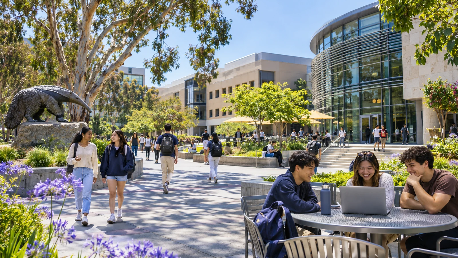
The choice of a site for a new University of California campus was central to Irvine’s urban development. UCI archives describe the late-1950s work of architect William Pereira and others on a university-centered community. Their historical account of the city helps explain the idea of combining a university, employment, housing, green space, and commerce in a coordinated layout. This was not just a set of residential subdivisions. The plan considered how people would live, study, work, and move through a new city.
Why the university-centered approach mattered
A campus can create long-term demand for homes, services, jobs, cultural events, and transportation. Planning around it helped establish relationships between academic areas and nearby villages that remain visible today. Those relationships also evolve as both the city and university grow. Our guide to exploring UC Irvine shows how the campus continues to contribute to public culture and everyday regional life. The current city is more complex than the earliest plan, but the university remains a major part of its identity.
Incorporation gave residents a city government
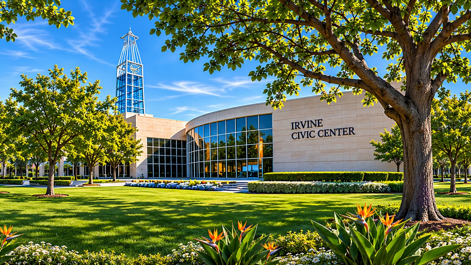
Irvine incorporated on December 28, 1971. That step gave the growing community its own municipal government and local authority over many future decisions. The City of Irvine’s history page places incorporation within earlier planning and neighborhood development. From that point onward, municipal decision-making became another major influence on land use, parks, infrastructure, and local services. The planning story therefore involves both private development and public governance, not one continuous decision by a single organization.
Villages and open spaces define the visible pattern
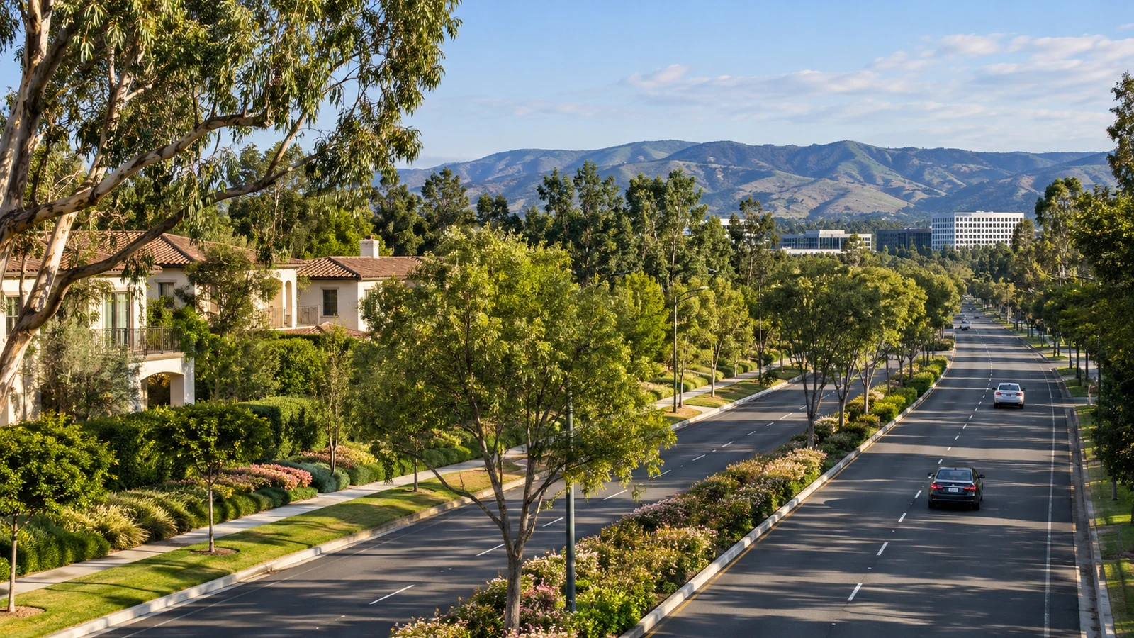
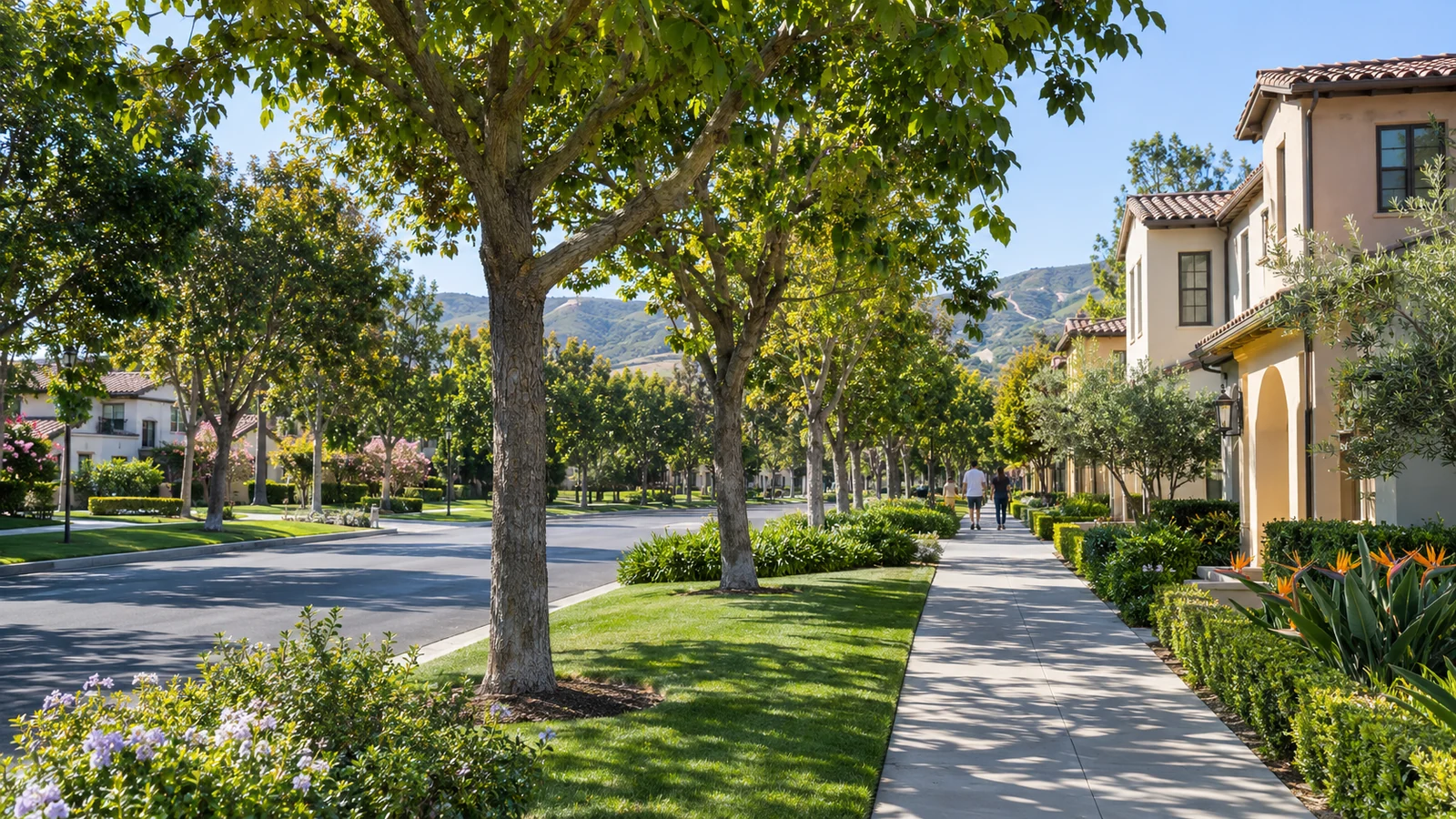
Irvine’s named villages reflect a long-running effort to create recognizable neighborhood areas connected to schools, parks, commercial centers, and greenways. Different phases of construction produced different types of places. Some areas have mature landscapes and established routes, while newer districts reflect changing housing and transportation priorities. Our neighborhood villages guide explains how to compare them without reducing each to a simple label. The physical plan has influenced daily life, but no design remains unchanged after decades of use.
Conservation is part of the urban story
The relationship between built neighborhoods and protected land is another important part of Irvine’s history. The Irvine Open Space Preserve and surrounding natural areas reflect conservation decisions as well as ecological features of the region. These places are not merely decorative borders to housing. They provide habitat, public recreation under applicable rules, and continuity with broader Southern California landscapes. In some locations, trail access is limited to protect sensitive resources, a reminder that preservation and recreation require ongoing management.
Planning remains a living process
Calling Irvine planned does not mean every question was settled decades ago. New housing, transportation facilities, public amenities, and redevelopment proposals continue to be considered through modern public processes. Residents can follow current decisions through city agendas and official project maps. The 2026 Irvine changes guide provides examples of how a mature planned city still adapts. Understanding the past helps explain current debates, but it does not decide what those future changes should be.
Where to continue researching Irvine history
Local history becomes richer when you compare photographs, maps, oral histories, and original documents. The City’s historical pages and UCI Special Collections are useful starting points. Look for the date of each photograph and consider what falls outside the frame. An image of open farmland, for example, does not tell you the full story of the people who worked there or the earlier communities connected to the land. Different archives may emphasize different periods. Comparing them helps avoid reducing Irvine’s past to a single celebratory narrative about suburban growth.
Visit historic places thoughtfully
Some sites remain active public spaces, while others are protected or located on private property. Use public visitor information and respect access limits. A local history outing should deepen understanding without disrupting preservation work or current residents.
Irvine’s history is the story of land, communities, institutions, and decisions made across many generations. Indigenous presence and ranching history came before university-centered plans, incorporation, and the neighborhoods familiar today. The strongest view of Irvine as a planned city includes those earlier layers and acknowledges that planning continues through public decisions and everyday use. A careful local history invites residents to look beyond the map and ask how the city became the place it is now.
End of article