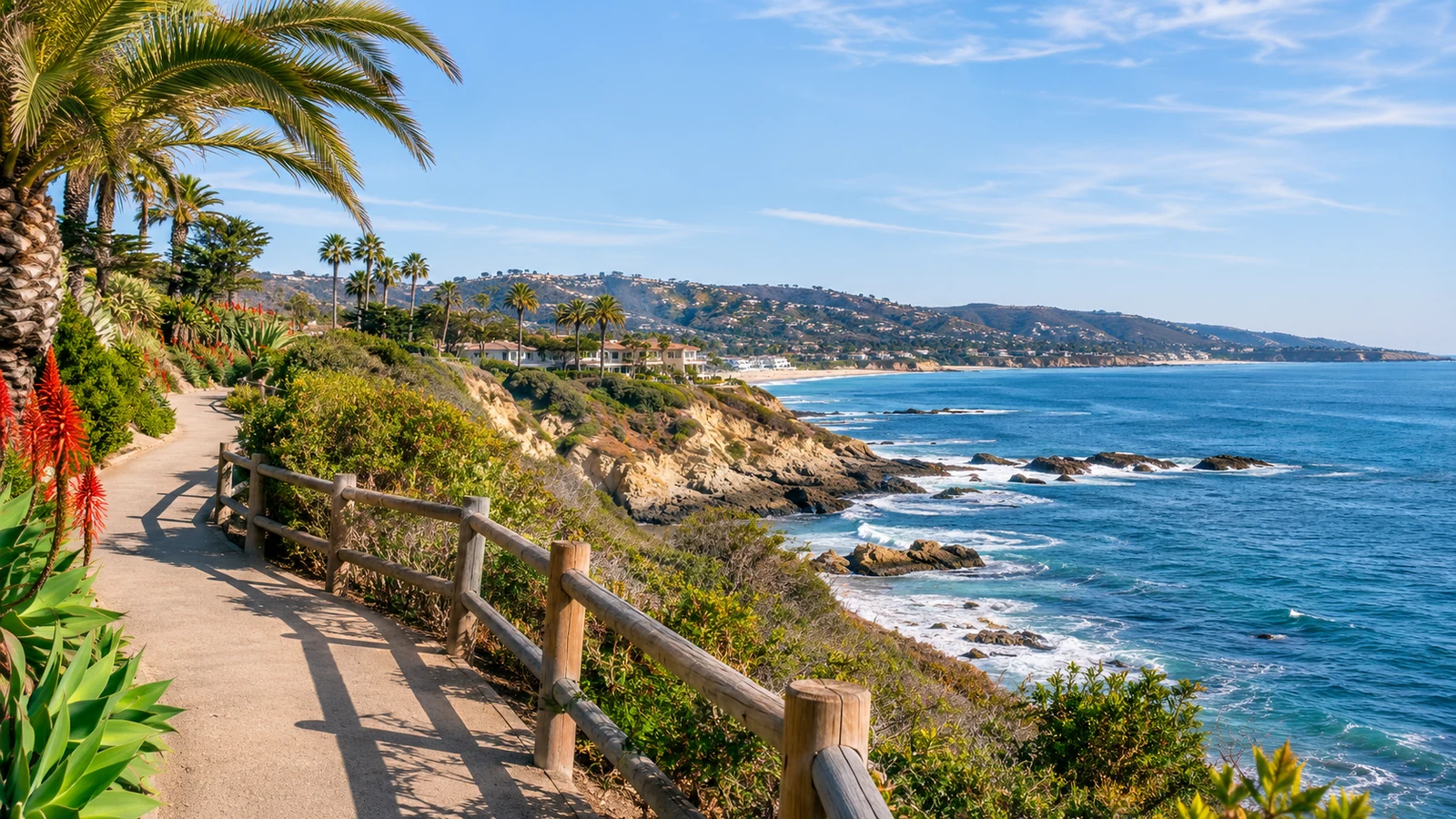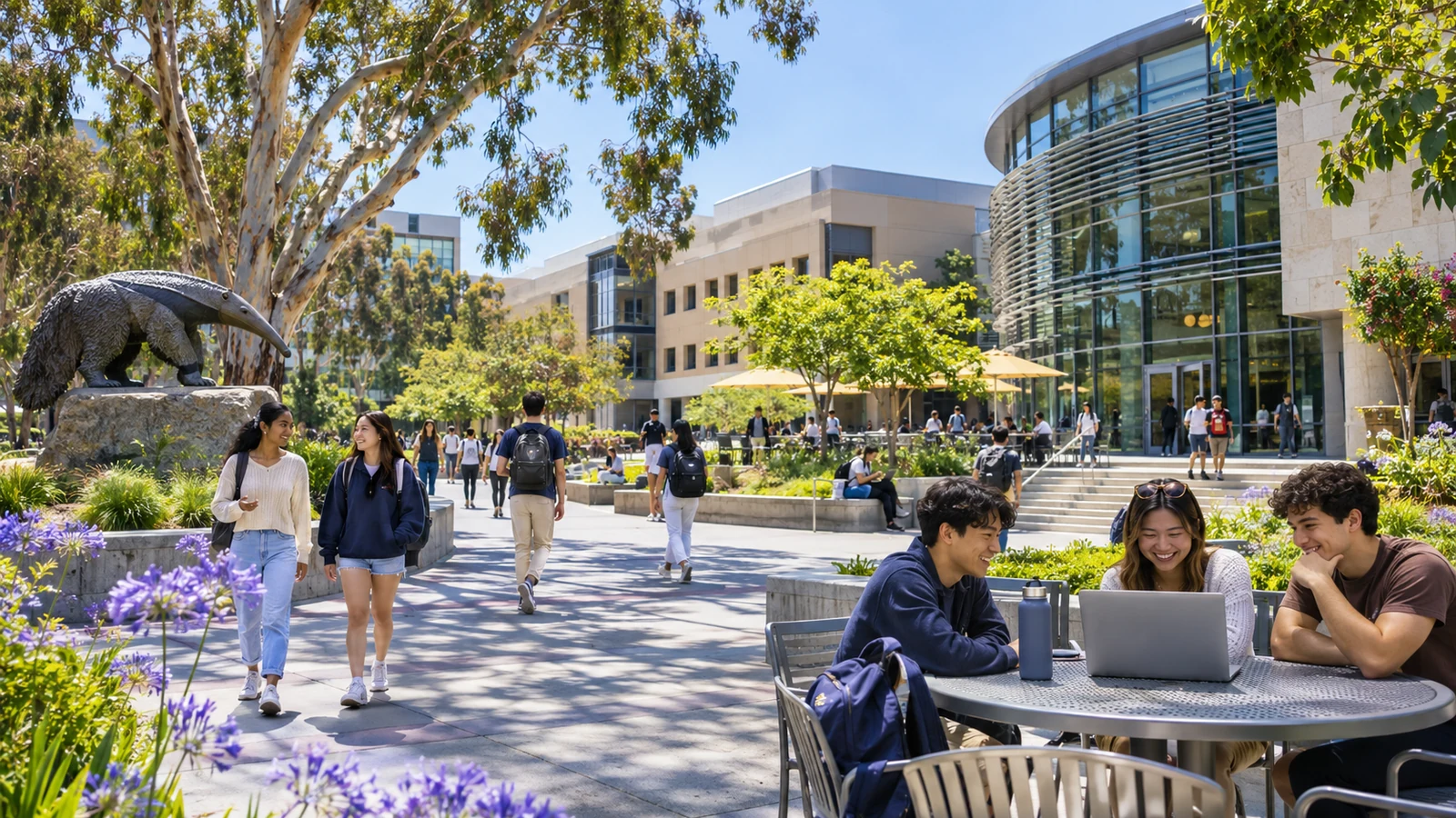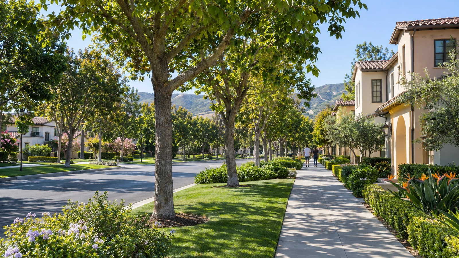
Irvine’s neighborhood villages are more than names on entry monuments. They reflect a planning approach that links homes with schools, parks, landscaping, local shops, and travel connections. But a village label does not tell the entire story of what daily life feels like on a particular block. Older neighborhoods, newly developed districts, apartment communities, and employment areas can differ sharply. Understanding the village concept means looking beyond attractive photos to the way an area functions for the people who live and visit there.
How the village concept developed
Irvine grew through a master-planning tradition connected to the creation of UC Irvine and the transformation of the former Irvine Ranch. Early neighborhoods were planned around a combination of residential areas, community facilities, and green space. The City of Irvine history page describes the university-centered planning efforts and the early residential villages built before incorporation. This history helps explain why many parts of Irvine feel like distinct local areas rather than one continuous street grid. Yet today’s village names also represent decades of later development and changes in land use.
Different villages reflect different periods
University Park, Turtle Rock, Woodbridge, Woodbury, and other neighborhoods were built in different eras and around different physical settings. Some have mature trees and established paths; others have newer housing and community facilities. The village name can be a starting point for research, not a substitute for visiting. Check the particular streets, building types, and walking connections that matter. For additional historical background, read Irvine’s history as a planned city, which follows the city’s earlier agricultural and university-related transformation.
What makes a neighborhood work in daily life
A park shown on a map may be close by distance but separated by a major road. A retail center might be easy to reach from one side of a village and inconvenient from another. Likewise, a school campus, open-space trail, or bus stop can shape routines without being equally accessible to every address. When comparing places, think in terms of actual walking paths and trip times rather than straight-line circles. Observe crossings, shade, evening activity, and the condition of public spaces during a normal weekday as well as a weekend.
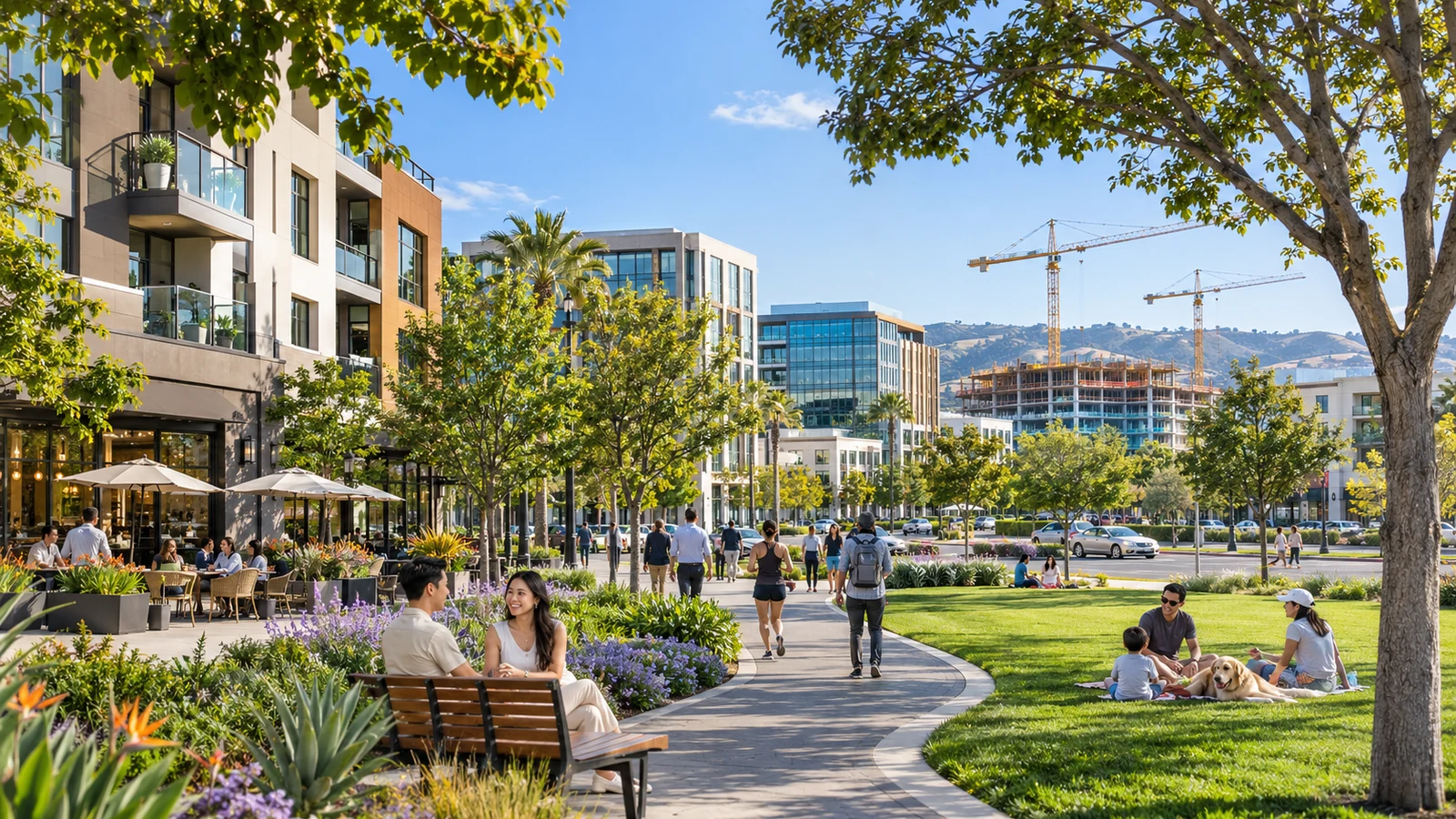
Look for amenities, not just neighborhood names
Irvine’s parks and public facilities are an important part of its residential identity. The City’s interactive park map helps locate nearby parks and facilities. It is worth checking which features are public, whether reservations are needed for specific areas, and how accessible the entrance is. Community centers and sports fields may have schedules that affect when they are practical to use. A village with several visible green spaces may still have very different recreational options depending on the specific street.
Create a personal village comparison sheet
Pick three factors that genuinely affect your routine, such as a short walking route, transit access, and public recreation. Then list the precise destinations associated with each potential neighborhood. Add the official facility or route link next to the name. A family with school-age children, a student who cycles, and an older resident who values a level walking path may reasonably reach different conclusions about the same village. A useful guide should support those individual decisions rather than declaring one area best for everyone.
Distinguish neighborhood guides from real estate claims
A marketing page may highlight attractive amenities without explaining ownership, maintenance, access restrictions, or upcoming construction. An old neighborhood profile might also have outdated retail and transit details. Check property-specific questions with authoritative records and applicable community organizations. For a planning perspective, Irvine’s GIS and open-data portal provides map resources that can help verify planning areas. Do not assume a neighborhood nickname matches an official city boundary used for public decisions.
Villages remain connected to the larger city
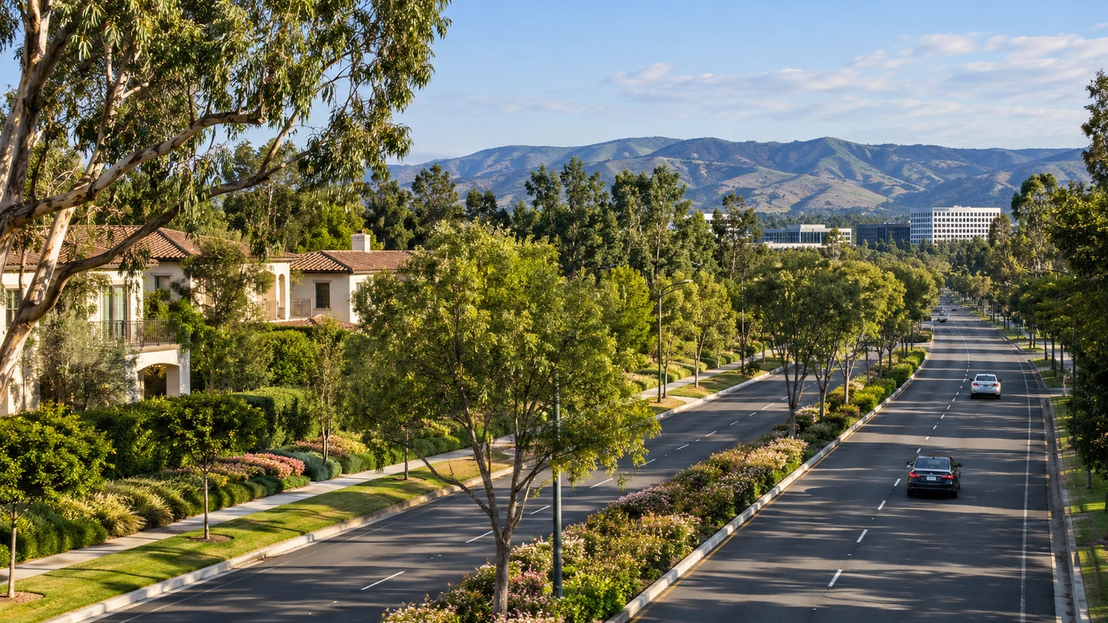
No neighborhood functions entirely on its own. Residents cross the city for work, schools, medical care, entertainment, trails, and shopping. Connections across wide arterial roads and freeway corridors can determine how convenient a place feels. For trips that do not involve driving, see getting around Irvine without a car. Even if you drive most days, the availability of a useful walking route or shared path can change the number of short trips made by car.
Public planning can change a familiar area
New projects, road improvements, park upgrades, and nearby mixed-use proposals may alter the setting of a village over time. A construction proposal should be checked against current city records, not only discussed as a rumor. The City’s development projects map provides a starting point. Our guide to following Irvine city decisions explains how to read meeting agendas and distinguish public recommendations from final actions.
Explore villages on foot with curiosity
A short visit often reveals useful information that a web search cannot. Walk a public route in the morning, notice how paths connect to shops and parks, and consider whether the street is comfortable for your preferred mode of travel. Look for places where residents gather, such as library branches, community facilities, and open spaces. Avoid trespassing into private amenities to investigate access; public maps and posted rules are better guides. Our Irvine trails overview offers ideas for public outdoor exploration.
Visit at more than one time of day
A neighborhood may feel quiet on a weekend morning but much busier during school pickup, commuter traffic, or evening events. If you are researching a village for everyday life, consider separate visits that reflect your likely schedule. Notice whether sidewalks are comfortable, how busy main entrances become, and where people actually gather. Public spaces can have different rhythms during summer and school terms. Firsthand observation should complement official information, not replace it: someone else’s experience on a single day will rarely describe every street or every household’s needs.
Be careful with school and boundary assumptions
School assignments and local administrative boundaries may not match a neighborhood’s informal name. Confirm address-specific information with the appropriate district and relevant agencies. Marketing descriptions are not a substitute for official school or land-use maps. This is especially important when comparing homes near the edge of a named village, where the nearest visible facility may not determine eligibility or assignment.
The most helpful way to understand Irvine’s villages is to combine history, current city maps, and firsthand observation. A neighborhood’s name tells part of a planning story, but its paths, facilities, connections, and ongoing changes shape daily experience. Treat village profiles as a starting point, check information at the address level, and leave room for the preferences that make one neighborhood feel right to one household and less convenient to another.
End of article