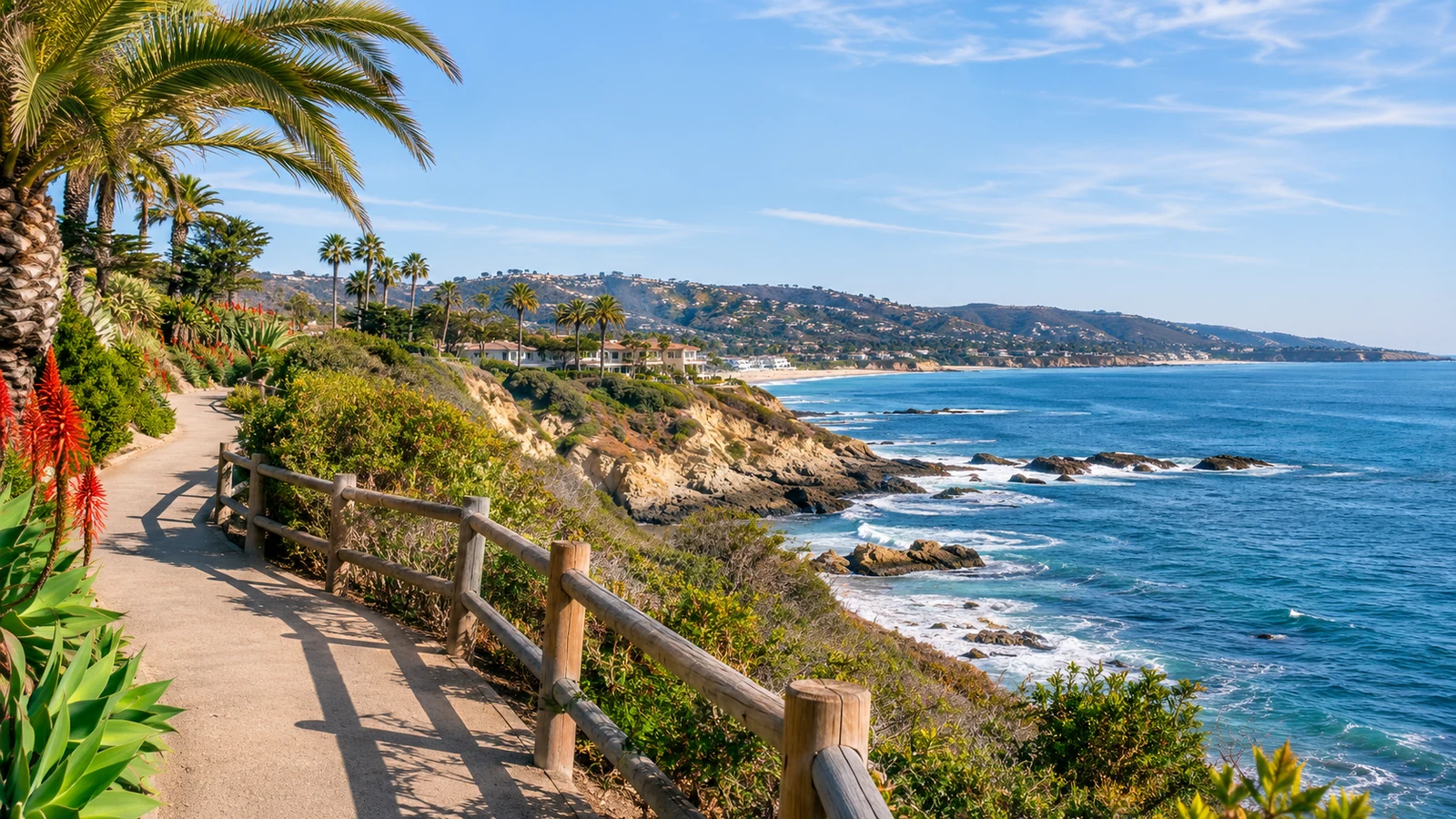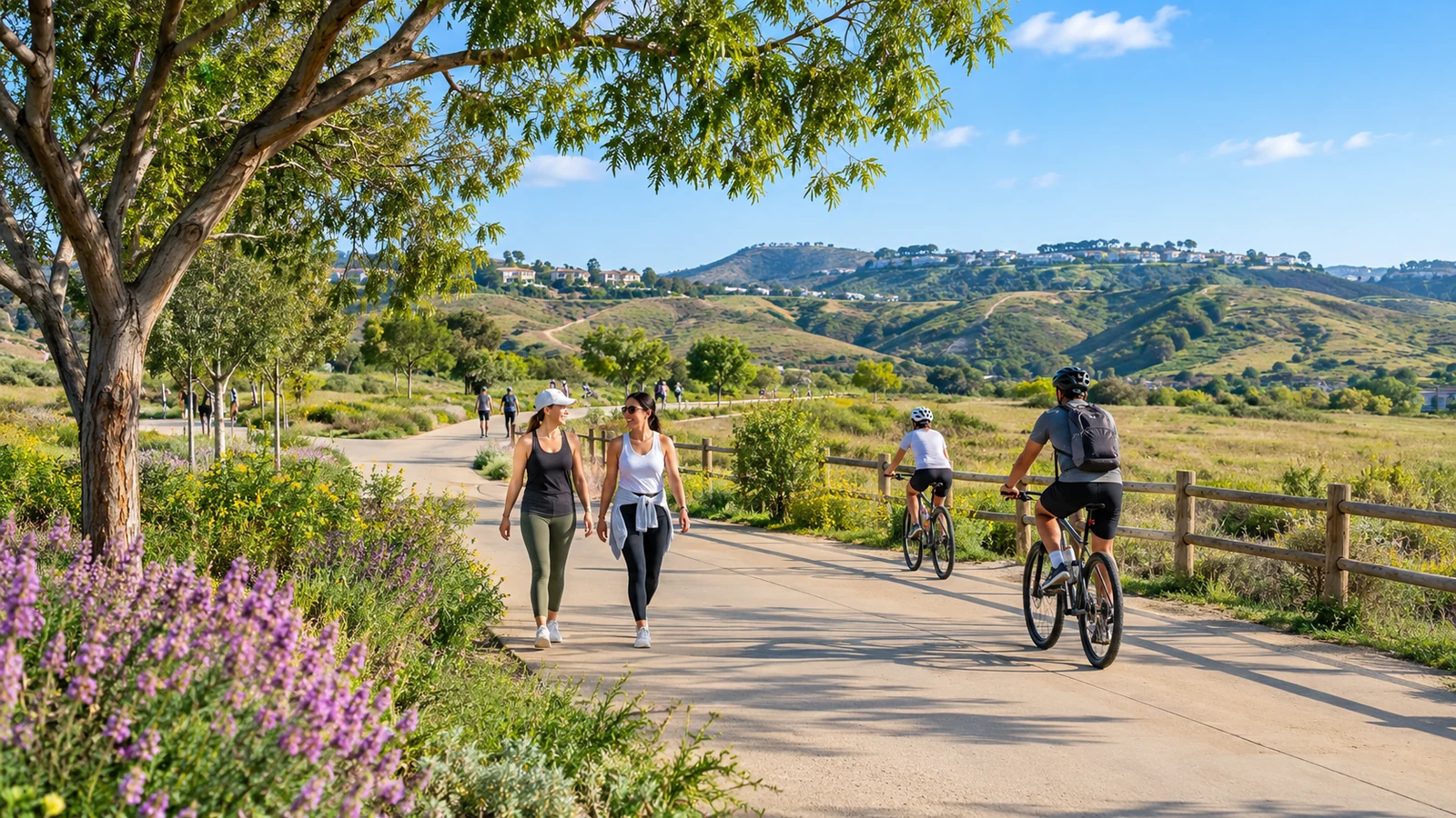
One of Irvine’s everyday advantages is the number of ways to spend time outdoors without making a major expedition. Neighborhood greenbelts, paved shared paths, parks, and protected natural areas offer different kinds of experiences. The challenge is choosing the right one for your plans. A short after-work walk calls for different preparation than a hike in exposed foothills, and not every picturesque route allows unrestricted public access. This guide explains how to explore Irvine’s open spaces with realistic expectations, useful maps, and consideration for other trail users.
Start with the outing you actually want
Think about distance, terrain, shade, facilities, and the people joining you. For a casual stroll, a city park or paved open-space corridor may be a better fit than a remote wilderness trail. A picnic might require restrooms and nearby parking, while a bike outing depends on continuous routes and safe crossings. Use the City’s interactive park map to find facilities before choosing a destination. Consider how much time you want to spend outside rather than selecting a place only because it looks dramatic in a photograph.
Public paths and wilderness access are different
An off-street paved path near homes typically has a different purpose and surface from a nature preserve trail. The Irvine Open Space Preserve includes sensitive habitat and opportunities for hiking, cycling, and guided programs. Some areas or routes require scheduled access, while others are available for self-guided use. Trail status can change after rain, heat, or high fire danger. Do not assume every line drawn on a map is open for an independent visit. Read the latest notices and the rules for your chosen route.
Why connected greenways matter
A greenbelt is not only scenery. Connected paths can make it easier to reach schools, local parks, and community facilities without using a car for every short errand. They also provide quieter spaces for walking or exercise. A route may include road crossings, narrow points, and shared-use sections where people cycle at different speeds. For route choice, combine the city park map with the official bikeways map, even if your goal is walking. Shared-path design often shapes where a comfortable stroll is possible.
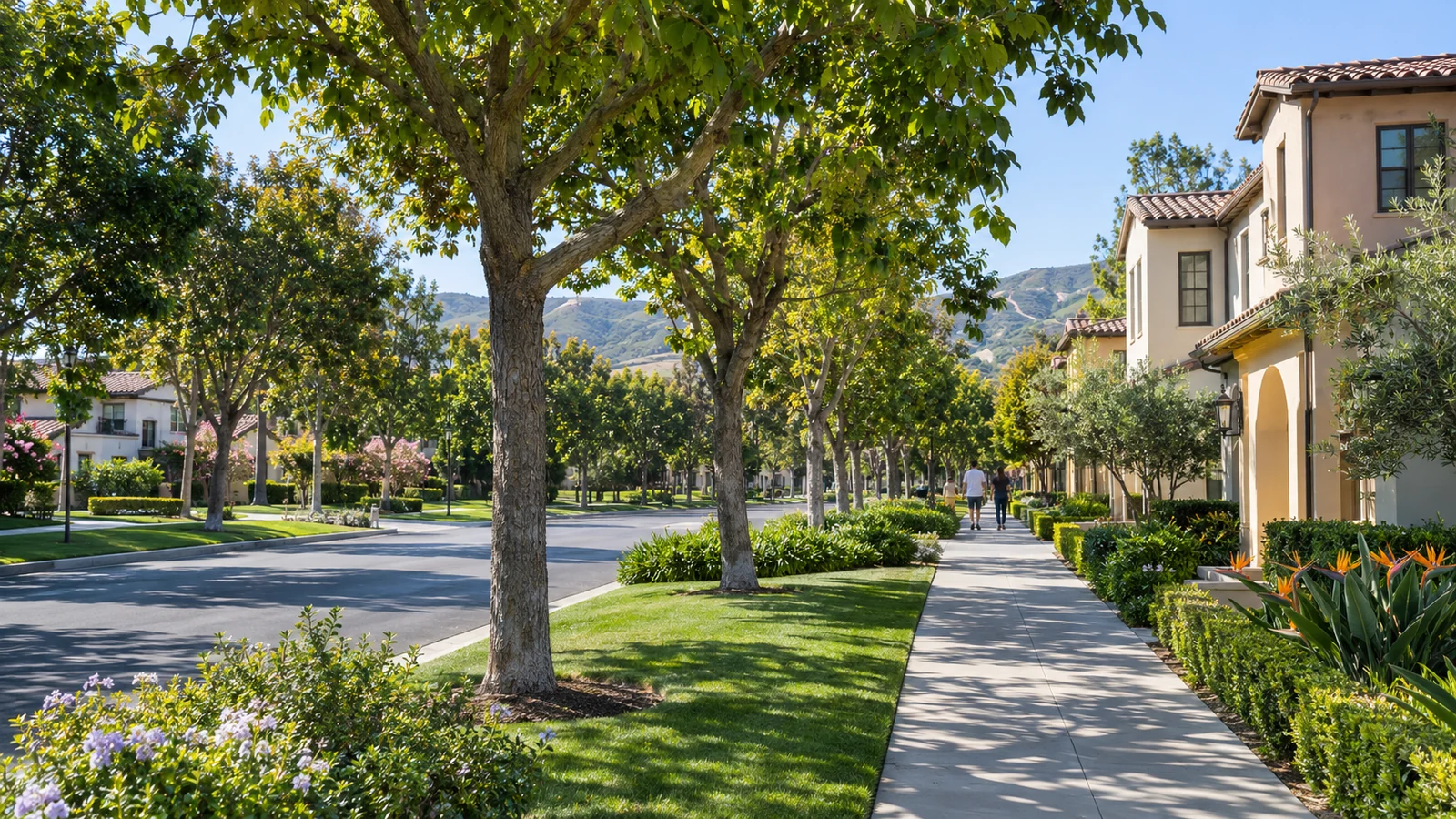
Discover several types of Irvine outdoor space
Bommer Canyon provides a window into the region’s ranching landscape as well as a setting for permitted recreational outings. The City’s Bommer Canyon Preserve information describes public trail use and other areas reached through guided programs. Quail Hill, Jeffrey Open Space Trail, and neighborhood parks offer other experiences depending on the distance and level of access you want. Rather than attempting every destination in one day, choose one area and understand its rules. Our beginner’s guide to Irvine trails explains how to narrow the choices.
What to check before leaving home
Confirm the exact trailhead, parking arrangements, allowed activities, predicted weather, and any closure notice. Bring drinking water and sun protection, especially on exposed routes. Let someone know your approximate plan when exploring less familiar trails. Check whether dogs and bicycles are allowed instead of assuming the same rules apply everywhere. The City’s maps and directions page provides useful access information, including places available only through guided programs.
Make room for local wildlife and habitat
Irvine’s natural areas are home to plant and animal communities that depend on relatively undisturbed habitat. Stay on designated routes, pack out waste, and avoid feeding wildlife. Dogs can be restricted even when a route feels like a typical neighborhood path, and certain trails can close temporarily to protect vegetation or respond to weather. Encourage children to observe without collecting plants or disturbing nests. Responsible access helps keep these places available to future visitors and reduces conflict between recreation and conservation.
Plan for a comfortable, shared experience
A pleasant path for one person can feel crowded to another. On shared routes, stay aware of people traveling at different speeds. Cyclists should announce passing when appropriate and slow down around blind corners; walkers should avoid blocking the full width of the path. Consider quieter hours if you prefer a more relaxed outing. Pay attention to lighting and exit points when a walk extends toward dusk. These habits matter on everyday routes just as much as on longer hikes, particularly where path users share space near parks or residential areas.
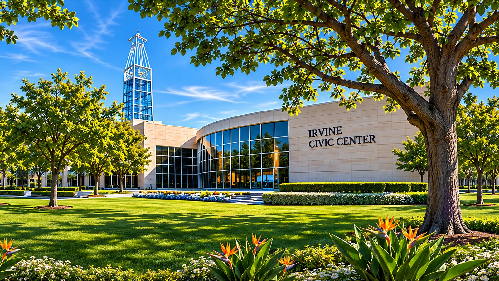
Think about access beyond the trail itself
A route can be attractive while the trip to its starting point is inconvenient. Check sidewalk connections, accessible paths, restrooms, and whether there is a reliable way to return without a car. Public transit may serve the general neighborhood without reaching a preserve entrance. Our article on getting around Irvine without a car explains how to evaluate that first and last mile. Visitors using mobility aids should rely on current official facility information rather than a trail’s general “easy” label.
Build a small outdoor routine
An hour in a nearby park can be as valuable as an ambitious weekend outing. Try a repeatable neighborhood route during different seasons, then add a longer public trail when you know what conditions suit you. Keep a few options for hot days, rainy periods, and days when natural-area access is restricted. If you want to understand why these corridors are part of Irvine’s design, read Irvine’s history as a planned city. The relationship between planned neighborhoods and green space has deep local roots.
Choose a route that leaves time to pause
A good outdoor visit is not always measured by miles. A short path with a shaded bench, birdwatching opportunity, or pleasant view may fit your purpose better than a long loop. Look at available seating, the distance to restrooms, and whether you can easily return to your starting point. Families and mixed-age groups often enjoy a simple out-and-back plan because everyone can adjust the distance. If you are visiting to observe wildlife or take photographs, avoid blocking narrow trail sections while stopping. Keeping a comfortable pace is part of being considerate to others.
What to do when a preserve is closed
Have a public city park or paved neighborhood path in mind as a backup. A closure may protect vulnerable habitat or reflect unsafe trail conditions, even if the weather seems pleasant at your home. Follow posted notices and check again before your next visit. Respecting closures makes continued public access more sustainable.
Irvine’s open spaces are best appreciated as a network of different places, not a single attraction. Start with the right kind of outing, confirm the rules and access, respect other users, and let current official maps guide your route. With a little preparation, local parks and trails can become a dependable part of everyday Orange County life.
End of article